Black Mountains (eastern) Brecon Beacons in Wales.....
 |
| the route map |
We set out on a circular route to locate the crash sites of
Wellington Bomber BJ697 and
DeHaviland Vampire VZ106.
 |
| GS & KL heading up towards Burnt Mound |
We started out from
Carreg Haffes farm off the A4067 and headed up over the
Burnt Mound towards
Fan Hir in a north by north-westerly direction.
 |
| GS, KL, & I at the memorial cairn for Wellington BJ697 |
In 2.3km we reached the crash site of the
Vickers Wellington BJ697. A small memorial cairn has been erected at the site. There was only a "very" small amount of the wreckage left, which was neatly piles adjacent to the cairn.
 |
| all that remains of Wellington BJ697 |
It is said that on the 25th September 1942 in a night cross-country exercise the
Wellington BJ697 crashed due due to flying off course. The pilot F/Sgt Bird died of his injuries. The other members of the crew Barr, Fairweather, and Troughbridge were badly injured but survived; whilst Sgt. Head was unhurt and with help from local civilians got the injured crew off the mountain.
 |
| at the crash site of Vampire VZ106 |
We continued north by north-west from the BJ697 crash site for another 1.8km to reach the crash site of
Vampire VZ106. There was no cairn erected at this site, but there was a significant amount of the wreckage still left. Somebody had seemed to have made the effort to arrange prominent parts of the wreak into the original shape of the plane.
 |
| the wreckage of Vampire VZ106 |
It is said that on the 09th of October 1953 the pilot of the Vampire VZ106 let down through 8/8th cloud without getting a fix on his position or requesting a radar controlled let down, and struck the western slopes of
Fan Hir. The pilot P/Off. John Raymond Baldock was killed.
 |
| KL & I with the "boys" |
At this point we stopped for our usual soup and bread. It was another fantastic sunny day and we took some fantastic photographs on route.
 |
| descending from Fan Hir across Waun Haffes |
From the crash site of VZ106 we headed in a south by south-westerly direction for 1.9km to reach the well formed footpath and headed in a south-easterly direction for 3.9km back onto the A4067.
 |
| GS & KL descending on the footpath |
It was an approximate 10km/6mile (direct point to point & not calculating for slope distance!) route in an absolutely glorious day. It was a thoroughly enjoyable excursion.
 |
| KL & GS having a quick "pit stop" on the return journey |
Yet again, GS performed exceptionally well for his age and notwithstanding his medical issues.....he continues to amaze us all!!!
More photos........
 |
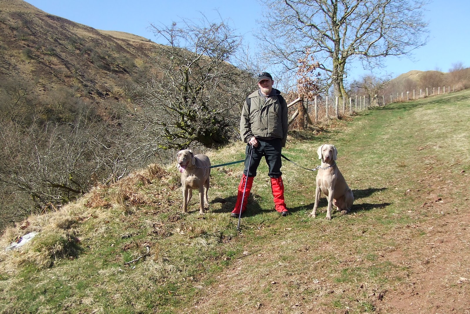
| at the start.............. |
 |
| me too................. |
 |
| some of the local wildlife................. :) |
 |
| KL & the boys heading up to Burnt Mound |
 |
| a north by north-east view from Burnt Mound |
 |
| an easterly view from Burnt Mound |
 |
| KL & GS heading up |
 |
| KL & the boys |
 |
| an easterly view from Brunt Mound looking over Penwyllt quarry |
 |
| a view from Burnt Mound towards Fforest Fawr |
 |
| another easterly view from Burnt Mound |
 |
| taking a bearing at the Wellington memorial cairn |
 |
| KL & GS at the Vampire crash site |
 |
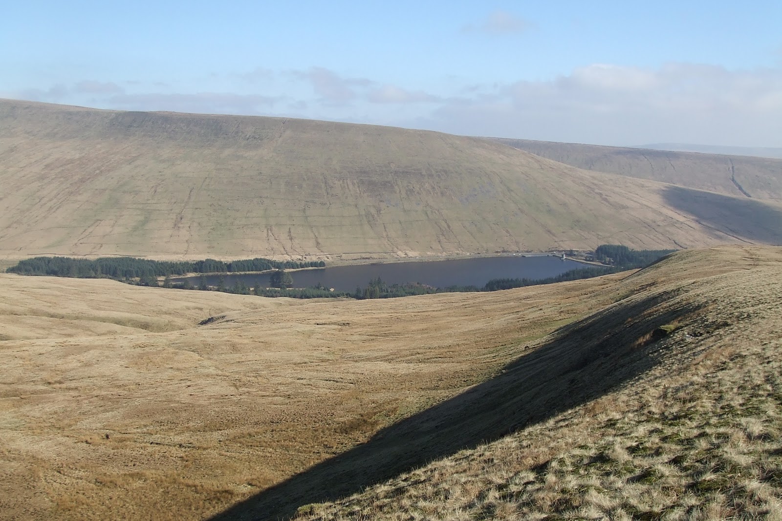
| a northerly view of Fan Hir from Waun Haffes |
 |
| a southerly view from Waun Haffes |
 |
| KL & GS heading down Waun Haffes |
 |
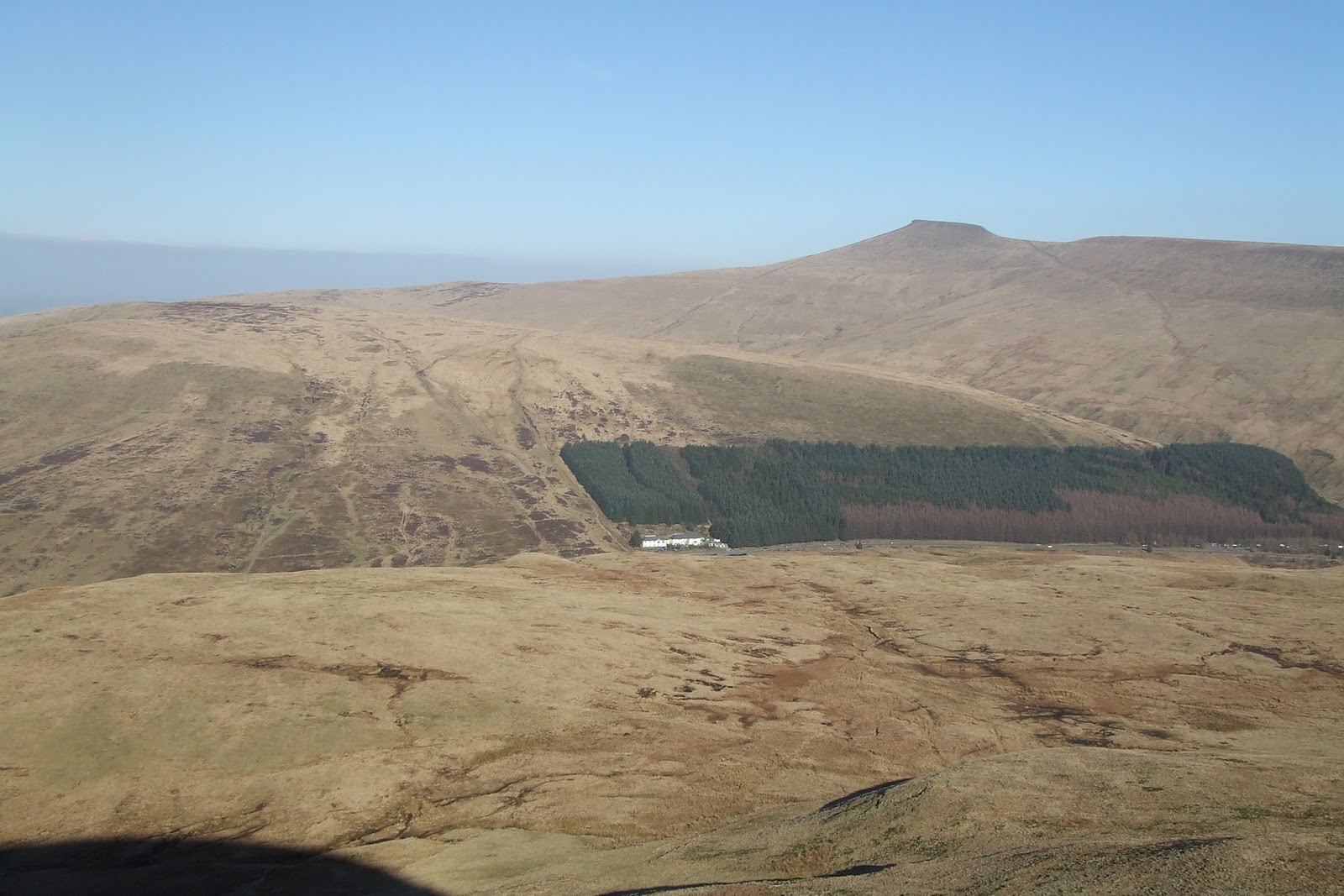
| a south-westerly view from Waun Haffes |
 |
| a south-easterly view from joining the footpath |
 |
| GS & KL heading down the footpath |
 |
| GS heading down & a south-easterly view |
 |
| phew....................another long one! |
 |
| that's it...............I have had enough |


